Digital Image Processing

Digital image processing is an important step before next processing, e.g. computer vision, prediction, and other image manipulations. Image processing is an input for another computational task. In the first time, image processing is learned by computer scientists with some mathematical processing, e.g. edge detection, noise filter, etc. but to day some discipline, e.g. remote sensing, GIS, use this subject as the main and important material.

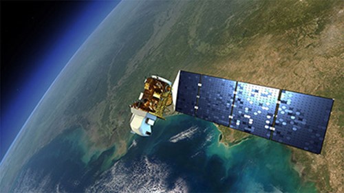
I have a lot of friends from computer science that try to focus on this subject. He/she asked about the current trend of this interesting subject. Image processing now has been established, with some images to be processed should have a lot of band frequencies captured by satellite, e.g. Landsat, Sentinel, IKONOS, etc, called multispectral and hyperspectral (more than 13 band frequencies) data. So, if we only have one band frequency, it is difficult to manipulate this single band image (called panchromatic). But for computer scientist, it is interesting to focus on computer vision, whether video or object detection. But some areas, e.g. remote sensing, medical imaging, to say only a few, still need deep learning-based image processing. I’m surprise when see the curriculum in my previous campus that the digital image processing is held by remote sensing & geographic information systems (RS-GIS) department.

If you want to see how image processing for land use/cover classification, my Youtube video might be useful, especially for environmentalists.

Iklan

Import Citra Sentinel pada IDRISI

Ada banyak sensor citra satelit seperti Landsat, IKONOS, Sentinel, dan lain-lain. Yang terkenal dan sudah lama dipakai oleh para peneliti adalah Landsat. Postingan-postingan saya terdahulu juga telah membahas sensor satelit ini dan penggunaannya dengan software IDRISI. Kali ini kita akan mencoba satelit Sentinel.

Versi IDRISI

Banyak versi idrisi, misalnya IDRISI Taiga dan Selva yang masing-masing memiliki karakteristik yang khas. Ketika saya coba mengimpor satelit Sentinel ke IDRISI Selva (IDRISI versi 17), ternyata tidak ada menu pilihannya.

Informasi dari Google ternyata untuk citra Sentinel mau tidak mau harus menggunakan minimal IDRISI versi 18.3, yang namanya kembali menjadi TerrSet, sesuai dengan nama perusahaannya.

File SAVE

Ada satu hal unik ketika mengunduh citra Sentinel dari United States Geological Survey (USGS) yaitu file zip yang ketika diekstrak ternyata berisi file-file tertentu, bukan hanya citra tiap pita frekuensi seperti pada Landsat. Nah, di salah satu folder ada kumpulan file *.jp2 (JPEG2000) untuk tiap pita frekuensi (band). Namun untuk mengaksesnya di IDRISI cukup dengan memanggil file SAFE.

Otomatis nanti “Band to process” akan berisi pita-pita frekuensinya (ada 13 belas pita frekuensi). Centang semua jika ingin mengimpor seluruhnya ke IDRISI. Sertakan folder lokasi untuk menyimpan file *.rst hasil konversi *.jp2 Sentinel. Untuk lebih jelasnya silahkan lihat video Youtube saya berikut. Sekian, semoga bisa bermanfaat.