Although just for presentation, layout is as important as other ArcGIS usage, especially when writing a research report. We can capture the map using “print screen” button, but if we need more formal presentation, the layout facilities from ArcGIS such as legend, north arrow, coordinates, etc., must be provided. Use the “layout view” for creating the layout which is located below the working area.

Layout provides the paper with the frame. We can add more than one frame in it, by clicking insert – data frame and then drag the shapefile into the active frame. If the frame is not active, activate it by right-clicking the frame and chose “activate”.

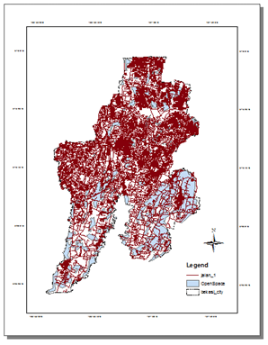
Insert with legend, north arrow, etc. The difficult one is the coordinate. Sort the active frame in the layout and right click. Choose properties. The data frame properties will appear.

Click “new grid” to add the coordinates in the frame that show the location in longitude and latitude style. I prefer to choose “graticule” style with median and parallel to my map. Subsequently, I decide not to use grid in my map and chose 200 intervals of latitude and longitude. After layout creation you may print it out or just export map into image (by clicking in menu: File – Export).

2 respons untuk ‘Creating a Layout Map’