Google map is free web-based application that serve the geographical position all over the world. It serves map, satellite view (via landsat satellite), and now serves with street view. What is street view? The street view is a function that send the user a picture around some points. They are captured by a car with a special camera.
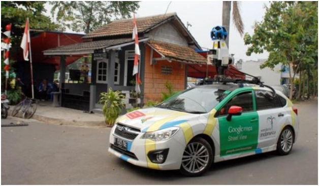
After our capital city, Jakarta, now my lovely place, Bekasi District, also has been surveyed by this car. Therefore, we can accessed picture behind the street similar to we directly drive a vehicle along the street. For example, my university where I work as a lecturer: https://www.google.co.th/maps/@-6.256911,107.005114,3a,75y,114.85h,87.48t/data=!3m4!1e1!3m2!1sCPhxI8TQG3qCR3IEiLwHdw!2e0

I think it is very useful especially for one who wants to visit an object. Some road may be one direction only, there are some road overlapping, underpass and fly over, etc. For me it is very useful for my research that optimizing a location based on some point that must far away because dangerous if near these object such as hospitals, electrical substations, rivers, schools, and so forth.
